Lost in the Wilderness, Found on the Map: The Illiterate Trapper Who Charted the American Frontier
Lost in the Wilderness, Found on the Map: The Illiterate Trapper Who Charted the American Frontier
In 1806, a young man named John Colter made a decision that would have seemed like failure to almost everyone around him. He quit.
Two years into the Lewis and Clark Expedition—one of the most celebrated undertakings in American history—Colter asked to leave. He was restless, underappreciated, and hungry for something the official expedition couldn't offer: freedom to wander where he pleased. The Corps of Discovery sent him off with little fanfare. Nobody imagined he'd become one of the most important cartographers of the American West.
The Man Nobody Expected Much From
Colter was born into obscurity in Virginia around 1774. He was barely literate—accounts suggest he could sign his name, though inconsistently, and likely couldn't read much beyond basic words. In an era when education was a luxury for the privileged, Colter's illiteracy marked him as permanently ordinary. He worked as a laborer, drifted west, and eventually joined Lewis and Clark as a common hunter and scout.
He was good at hunting. He was reliable. He was invisible.
When Colter left the expedition in present-day Montana in 1806, he wasn't abandoning history—he was stepping toward it. But he had no idea.
The Accidental Explorer
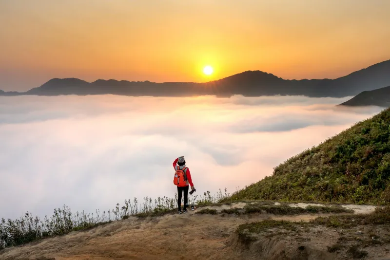
What happened next was part luck, part stubbornness, and entirely unexpected. Colter spent the next decade moving through terrain that no European had systematically explored: the Yellowstone caldera, the Absaroka Mountains, the geysers and hot springs that would later define one of America's most treasured landscapes. He wasn't on a sponsored mission. He wasn't collecting specimens for a museum or keeping detailed journals for publication. He was trapping beaver, surviving winters, and moving through the wilderness because that's where the beaver were.
But he was also watching. Noticing. Remembering.
Somewhere in those years of solitude—years when most men would have been broken by cold, hunger, and isolation—Colter began sketching what he saw. His maps were crude. His perspective was intuitive rather than scientific. He had no instruments, no formal training in cartography, no academic framework for what he was doing. He simply drew what he knew.
In 1810, Colter finally returned to civilization. He tried to settle down. He got married, bought land in Missouri, and attempted to become a farmer. But he also carried something invaluable: firsthand knowledge of a vast region that remained almost entirely mysterious to the eastern establishment.
The Maps Nobody Believed
When Colter shared his sketches with cartographers, the response was skepticism bordering on ridicule. His depictions of Yellowstone—the geysers, the hot springs, the geothermal phenomena—seemed fantastical. The region became known, half-mockingly, as "Colter's Hell." Educated men with credentials dismissed the illiterate trapper's accounts as exaggeration or delusion. How could a man with no formal training possibly map terrain that no official expedition had thoroughly surveyed?
The answer was simple: he'd actually been there, alone, paying attention.
Over the following decades, as more expeditions ventured into the Rocky Mountains, they discovered something remarkable. Colter's crude sketches were accurate. Not perfect—he had no instruments and relied on memory and intuition—but accurate enough to be genuinely useful. His understanding of the terrain, the river systems, and the geography of the region proved far more reliable than the speculations of armchair cartographers in the East.
William Clark, co-leader of the original expedition, incorporated Colter's information into his own maps. Other explorers found themselves following routes that Colter had already traveled and documented, however roughly. By the time the U.S. government finally conducted formal surveys of the region, Colter's basic geographic framework was already established.
The Advantage of Having Nothing to Lose
There's an odd irony in Colter's story. His illiteracy—the very thing that marked him as beneath the educated establishment—may have been part of what made him such an effective explorer. He wasn't constrained by theories about how the landscape should look. He wasn't trying to fit his observations into existing frameworks or academic assumptions. He simply moved through the world, watched carefully, and recorded what he saw in the most straightforward way possible.
He also had access that credentialed explorers never would. Because Colter was a trapper, not a famous expedition member, he moved through indigenous territories with less fanfare. He spent years living among the landscape rather than rushing through it on a scheduled timeline. He had time to understand the seasonal patterns, the water sources, the passages that mattered to survival.
The establishment that dismissed his maps had sent expeditions through the same terrain and learned less. They had degrees and funding and prestige. Colter had solitude and observation.
The Forgotten Legacy
John Colter died in 1813—or 1814, records aren't entirely clear—back in Missouri, still largely unknown outside fur trading circles. He never became famous. He never wrote a bestselling account of his travels. He never gave lectures to the American Philosophical Society or received honors from the government he'd inadvertently served.
Yet the maps he drew from memory and experience shaped how Americans understood and eventually settled the West. Yellowstone, which would become America's first national park, was territory Colter had already mapped in his own crude but accurate way. His sketches guided trappers, traders, and eventual settlers through some of the continent's most difficult terrain.
Colter's story cuts against everything the 19th century wanted to believe about exploration and knowledge. It wasn't supposed to work this way. The great achievements were supposed to come from educated men with credentials and resources and institutional backing. The illiterate trapper who left the famous expedition early wasn't supposed to end up being the most reliable source of geographic knowledge for an entire region.
But Colter's wilderness wasn't governed by what was supposed to happen. It rewarded attention, persistence, and the kind of intimate knowledge that can only come from actually living in a place—not just passing through it with instruments and ambition.
He never went to school. He never learned to write properly. He never received recognition in his lifetime. And yet, for decades, his crude sketches were the best maps of the American West that existed. Sometimes the person who sees most clearly is the one everyone else is looking past.