Mapping the Invisible: How William Cranch Lost His Sight and Found a New Way to See the World
The Accident That Changed Everything
William Cranch was examining a survey line in the Colorado Territory when the dynamite blast went wrong. It was 1876, and the 30-year-old cartographer had spent the previous decade mapping the unmapped corners of the American West. His detailed surveys had guided railroad routes, mining claims, and territorial boundaries from Montana to New Mexico.
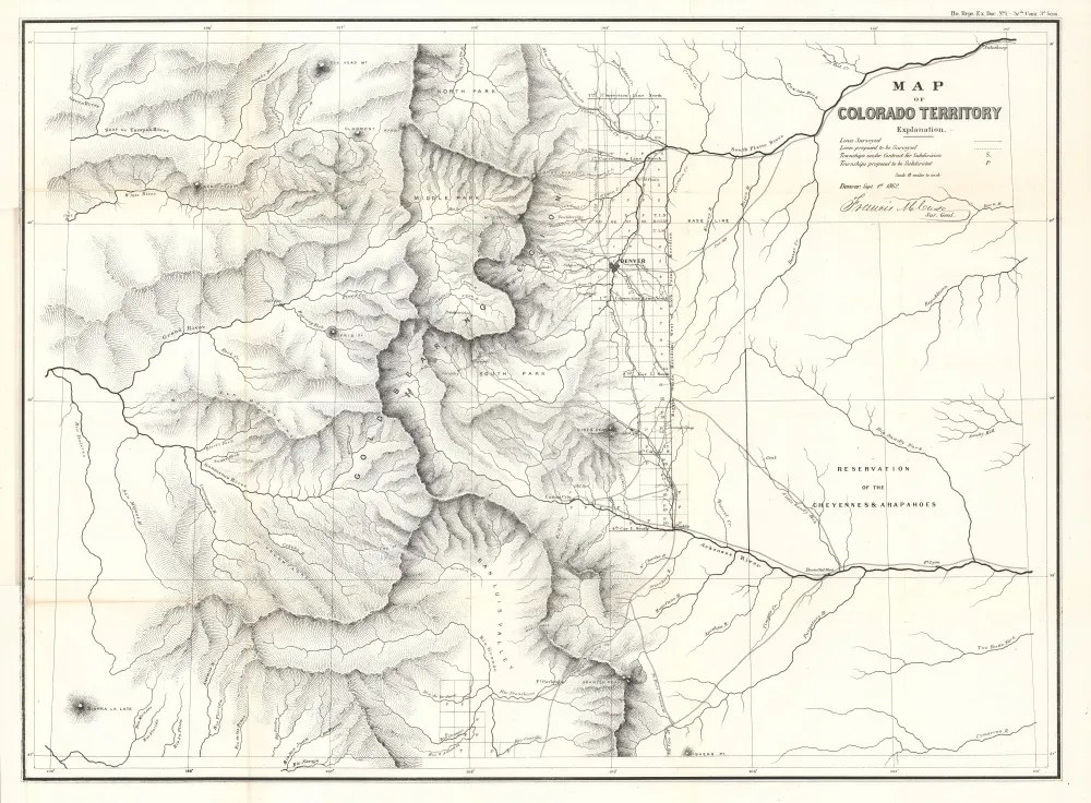 Photo: Colorado Territory, via www.geographicus.com
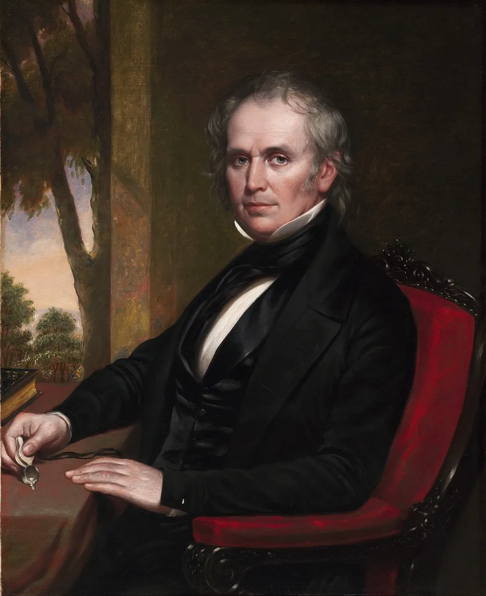 Photo: William Cranch, via www.harvardmagazine.com
The explosion that should have cleared a path through granite instead filled his world with permanent darkness. When the smoke cleared and the ringing in his ears stopped, William Cranch could no longer see the landscapes he had devoted his life to documenting.
Most people assumed his career was over. They were spectacularly wrong.
The Map in His Mind
During the long months of recovery in a Denver boarding house, Cranch made a discovery that would reshape his understanding of geography itself. Lying in bed with bandaged eyes, he began to realize that his mental map of the Western territories was far more detailed and accurate than he had ever imagined.
He could trace every ridge line, every water source, every elevation change he had surveyed over the past ten years. More than that, he could feel the relationships between landmarks in a way that his eyes had somehow prevented him from fully grasping. Without the distraction of visual information, his other senses had been building a three-dimensional understanding of the landscape that was startlingly precise.
Cranch began to wonder: What if losing his sight hadn't ended his mapping career? What if it had actually perfected it?
Learning to Touch the Landscape
By spring of 1877, Cranch was back in the field, but everything had changed. He developed a system of tactile mapping that relied on touch, sound, and smell to gather the information his eyes could no longer provide. He trained his fingers to read elevation changes through the texture of rock and soil. He learned to identify water sources by the sound of moving air and the smell of moisture.
Most importantly, he discovered that his assistants—young surveyors who served as his eyes—were actually seeing more accurately when they had to describe landscapes to him in precise, measurable terms. Forced to translate visual information into words, they noticed details they had previously overlooked.
Cranch's new method was slower than traditional surveying, but it was also more thorough. His post-accident maps began to include information that sighted cartographers consistently missed: the subtle elevation changes that affected water flow, the soil compositions that determined which routes could support heavy traffic, the wind patterns that influenced weather and navigation.
The Maps That Guided a Generation
By 1880, Cranch's tactile surveys were being requested specifically by railroad companies, mining operations, and government expeditions. His maps were more accurate than anything being produced by conventional methods, and his unique surveying technique was uncovering geographical relationships that traditional cartography missed entirely.
The Union Pacific Railroad used Cranch's surveys to route their mountain crossings through the Rockies. His maps identified grades and soil stability issues that prevented costly construction mistakes. Mining companies relied on his geological surveys to locate water sources and assess the stability of potential dig sites.
Most remarkably, his maps were accurate across scales that seemed impossible for someone working without sight. He could produce detailed local surveys that aligned perfectly with regional maps, maintaining precision across hundreds of miles of territory.
The Science of Invisible Geography
Cranch's success wasn't just about developing new techniques—it was about understanding geography in a fundamentally different way. Without the ability to see the big picture all at once, he was forced to build his understanding of landscapes piece by piece, relationship by relationship.
This methodical approach revealed patterns that visual mapping often missed. He noticed how water moved through landscapes in ways that weren't obvious from surface observation. He identified geological formations by their acoustic properties—how sound traveled differently through different types of rock and soil.
He developed what he called "echo mapping," using sound to identify the shape and size of valleys, canyons, and other large geographical features. His assistants would create sounds at specific locations while Cranch used the acoustic response to map the contours of the landscape around them.
The Students Who Carried the Method Forward
By the 1890s, young surveyors were traveling from across the country to learn Cranch's tactile mapping methods. He established an informal school at his base camp in Colorado, teaching techniques that combined traditional surveying tools with sensory methods that didn't rely on sight.
Many of his students were sighted, but they learned to work with their eyes closed for portions of their surveys. They discovered that Cranch's methods revealed information that purely visual surveying missed. The combination of traditional and tactile techniques produced maps of unprecedented accuracy.
Several of his students went on to establish the surveying protocols that were used for the early National Park system. Cranch's influence can be traced through the foundational maps of Yellowstone, Yosemite, and the Grand Canyon.
 Photo: Grand Canyon, via grandcanyon.com
The Legacy of Seeing Differently
William Cranch continued mapping until his death in 1904. His final survey was of the Colorado River through the Grand Canyon—a project that required three years and represented the most detailed mapping of that region attempted up to that time. The expedition was led by a team of his former students, but Cranch's tactile methods provided the baseline accuracy that made the survey possible.
His techniques influenced the development of modern topographical mapping and contributed to the scientific understanding of how landscapes function as integrated systems. But perhaps more importantly, his work demonstrated something profound about the nature of expertise and adaptation.
The Map Beyond the Map
Cranch's story reveals something important about how knowledge actually works. His accident forced him to discover that sight, rather than being essential to geographical understanding, had actually been limiting his perception of landscapes. Without the ability to see, he developed ways of knowing that were more comprehensive and more accurate than traditional observation.
His maps were superior not despite his blindness, but because of what his blindness taught him about paying attention. When you can't rely on the obvious, you develop sensitivity to the subtle. When you can't see the whole picture at once, you learn to understand how the pieces actually fit together.
William Cranch lost his sight in a mining accident, but he found a way of seeing that revealed landscapes more clearly than eyes ever could. His story reminds us that limitation often forces innovation, and that the most important discoveries sometimes come from learning to perceive the world in entirely new ways.
The maps he created guided a generation of explorers, but the methods he developed opened up new ways of understanding how we know what we know. Sometimes the most valuable thing we can lose is our certainty about how things are supposed to work.